 Montreal, the vibrant and culturally rich city nestled in the Canadian province of Quebec, has a storied history that has shaped its identity into what it is today.One of the most captivating ways to step back in time and experience Montreal’s past is through a collection of captivating photographs that offer a window into the city’s street scenes during the 1950s.
These snapshots provide a unique glimpse into the daily lives, fashion, and architecture of an era long gone, yet still echoing in the fabric of the city.
The 1950s saw Montreal embark on a path of urban renewal and modernization. This era witnessed the construction of various infrastructure projects, including highways, bridges, and tunnels, which aimed to accommodate the growing population and improve transportation connectivity within the city and its surrounding areas.
Notable projects included the construction of the Decarie Expressway and the Champlain Bridge.
One of the most significant events of the decade was the opening of the St. Lawrence Seaway in 1959.
This massive engineering project created a navigable waterway that allowed ocean-going vessels to access the Great Lakes.
The seaway had a profound impact on Montreal’s economy, turning the city into a major inland port and facilitating international trade.
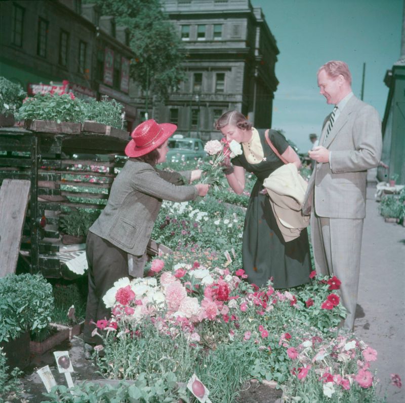
A woman smelling some flowers offered by a vendor at the Bonsecours market.
The question of language and cultural identity was a prominent issue in Montreal during this decade.
As Quebec society underwent changes and modernization, debates arose over the role of the French language and the preservation of Quebec’s distinct culture within the larger Canadian context.
These discussions laid the groundwork for future debates and struggles related to language rights and cultural autonomy.
The current form of the name, Montréal, is generally thought to be derived from Mount Royal (Mont Royal in French), the triple-peaked hill in the heart of the city.
There are multiple explanations for how Mont Royal became Montréal.
In 16th-century French, the forms réal and royal were used interchangeably, so Montréal could simply be a variant of Mont Royal. In the second explanation, the name came from an Italian translation.
Venetian geographer Giovanni Battista Ramusio used the name Monte Real to designate Mount Royal in his 1556 map of the region. However, the Commission de toponymie du Québec disputes this explanation.

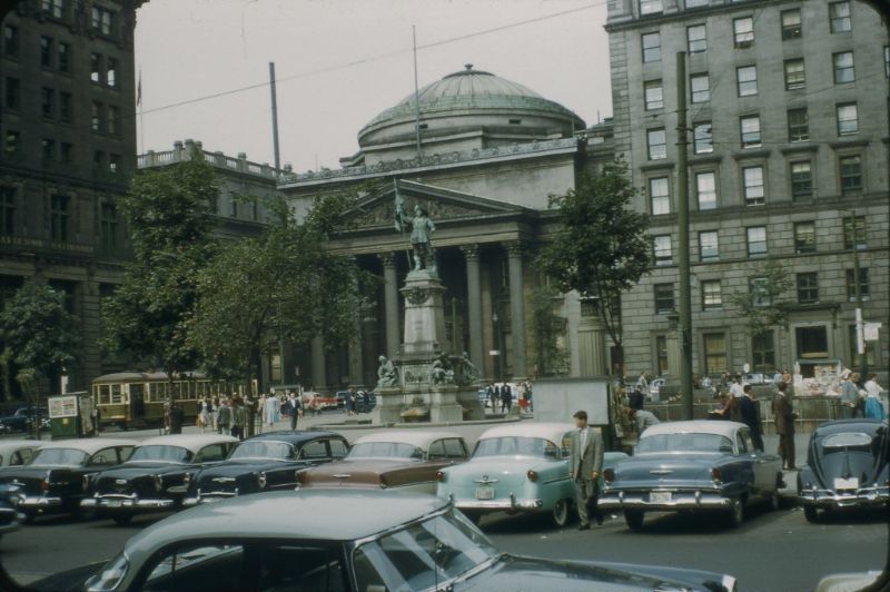
Bank of Montreal.
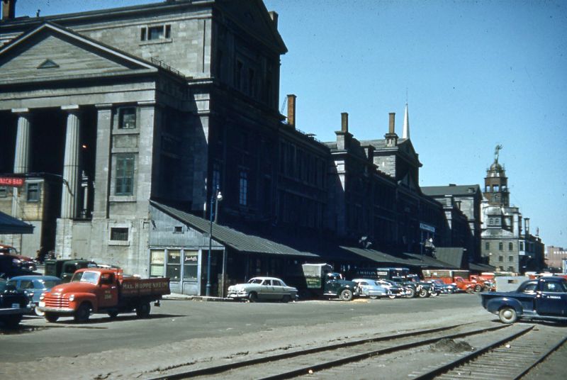
Bonsecours Market.
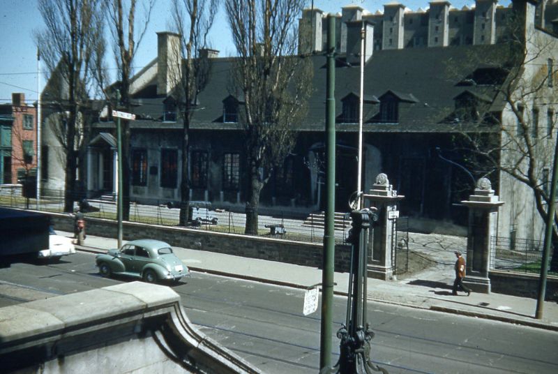
Château Ramezay.
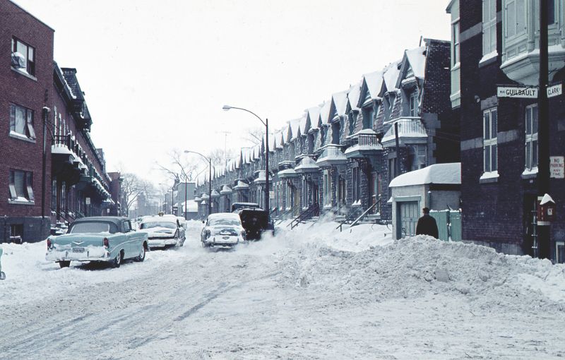
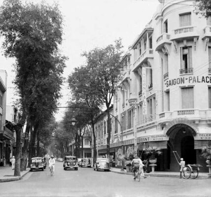
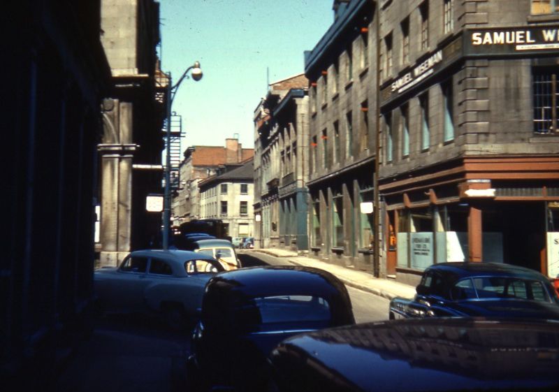
Clark Street.
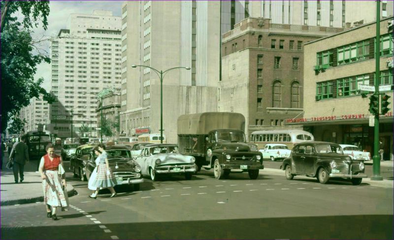
Dorchester Blvd and Drummond Street.
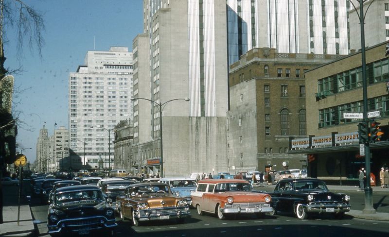
Dorchester Boulevard.
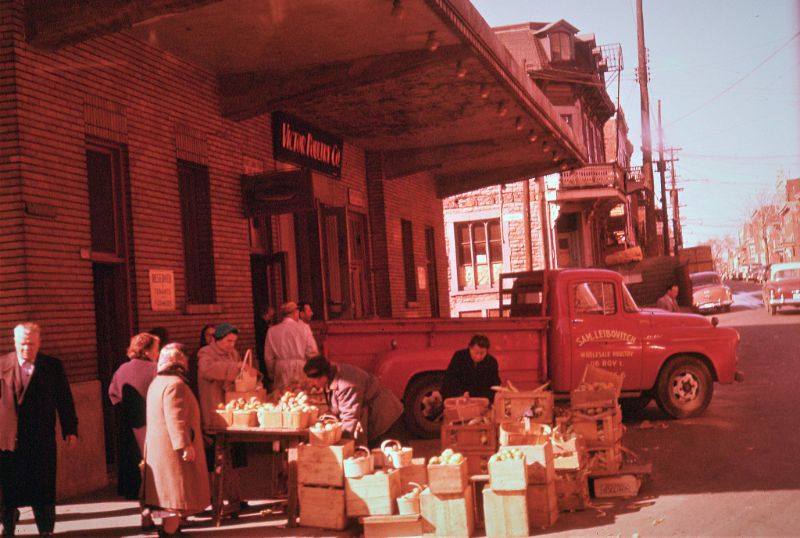
Fruit Market in front of Victor Poultry Co.

Guests at Les Palais des Nains “The Midgets Palace”.
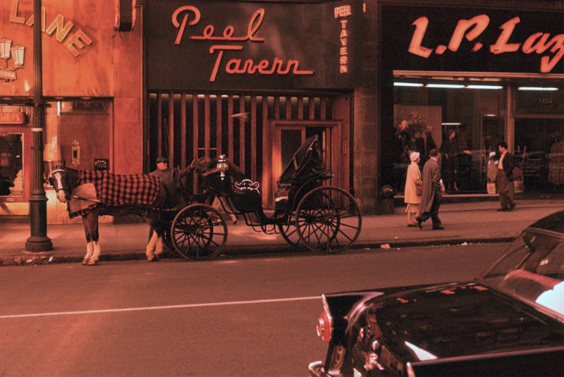
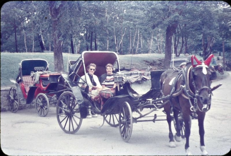
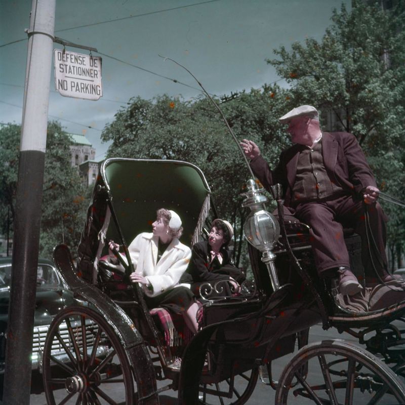
Horse and carriage in front of Peel Tavern.
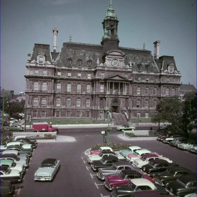
Hôtel de ville de Montréal.
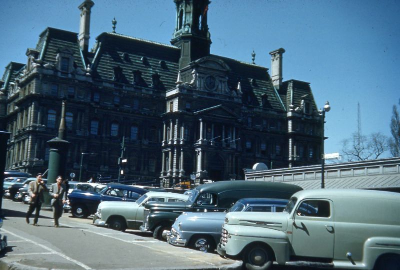
Hôtel de ville de Montréal.
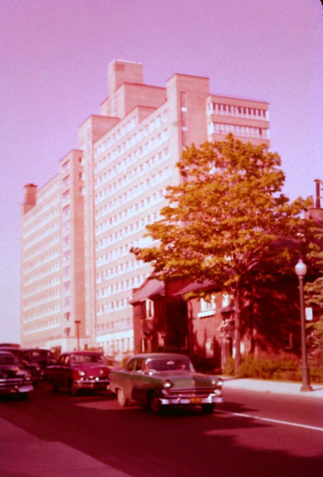
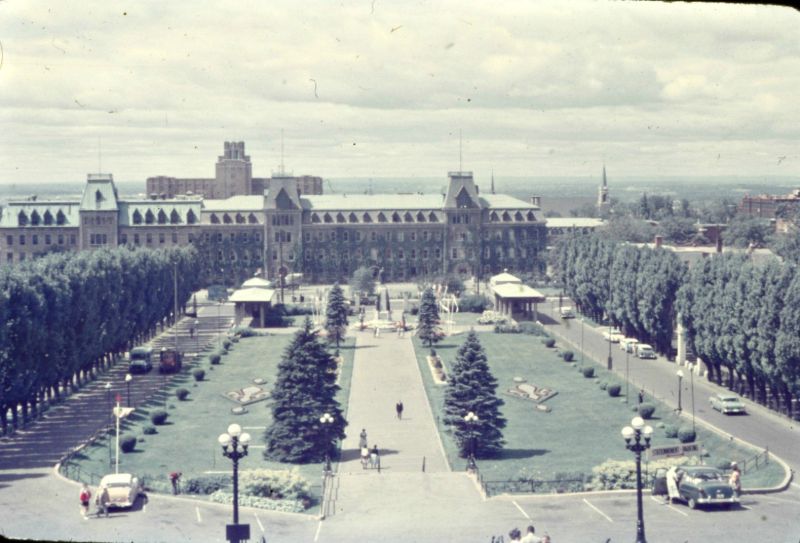
Montreal General Hospital.

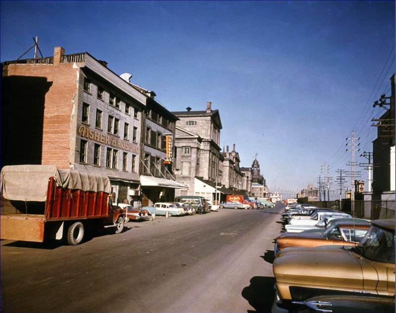
Montreal street scene.
Montreal street scene.
Montreal street scene.
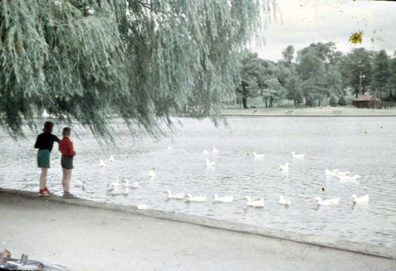
Mount Royal Park.

Mount Royal Park.

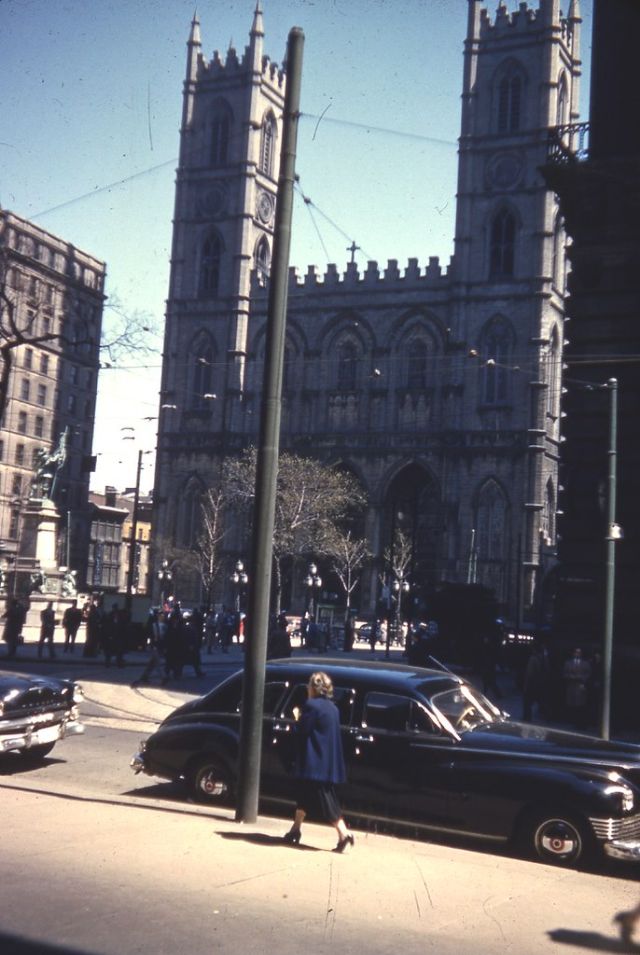
Notre-Dame Basilica of Montreal.
Notre-Dame Basilica of Montreal.
Notre-Dame Street East.
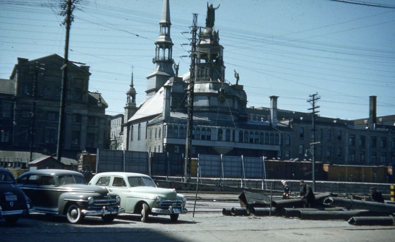
Notre-Dame-de-Bon-Secours Chapel.
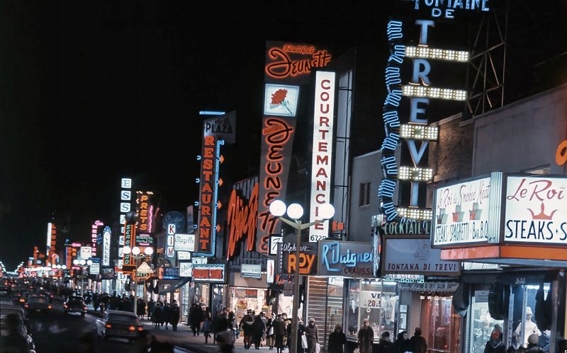
Plaza Saint-Hubert.
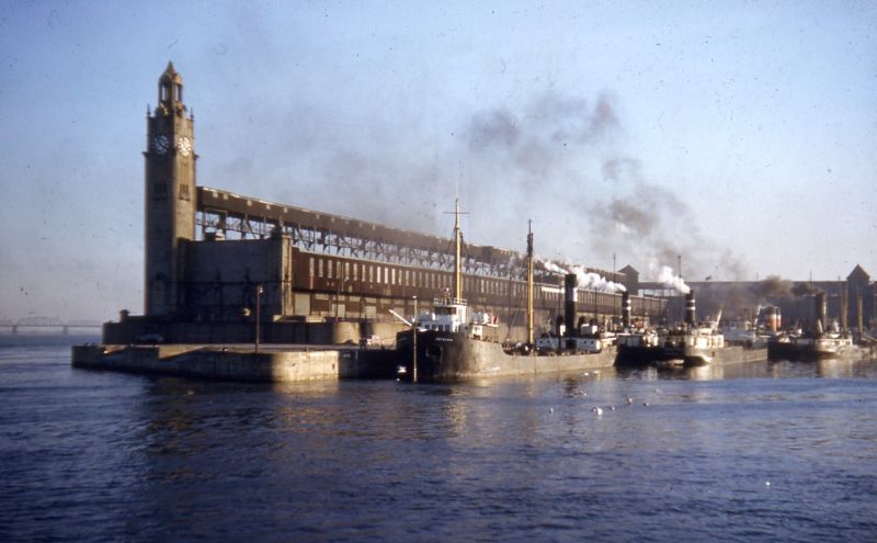
Quai de l’Horloge.
Rue de la Commune.
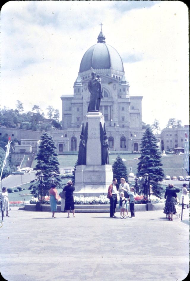
Saint Joseph’s Oratory of Mount Royal.
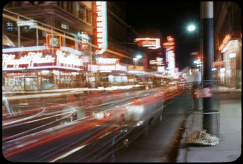
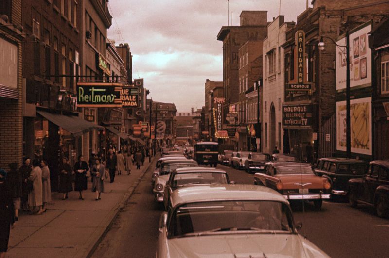
Saint-Catherine Street.
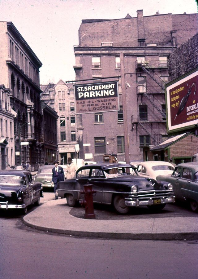
Saint-Sacrement parking lot.
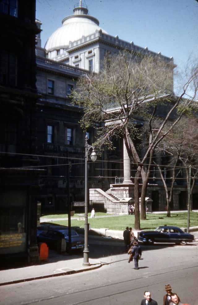
The Montreal courthouse.
The Monument at Maisonneuve and the Notre-Dame Basilica.
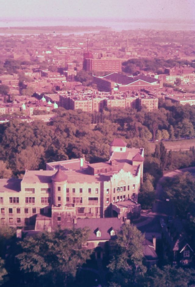
View from 18th floor of Montreal General Hospital.
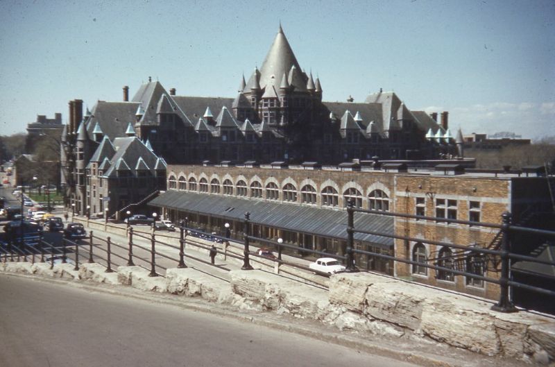
Viger station.
(Photo credit: Pinterest / Wikimedia Commons).