These amazing aerial photographs from the Boston Pictorial Archive documenting Boston’s landscape and city sections in the 1920s.
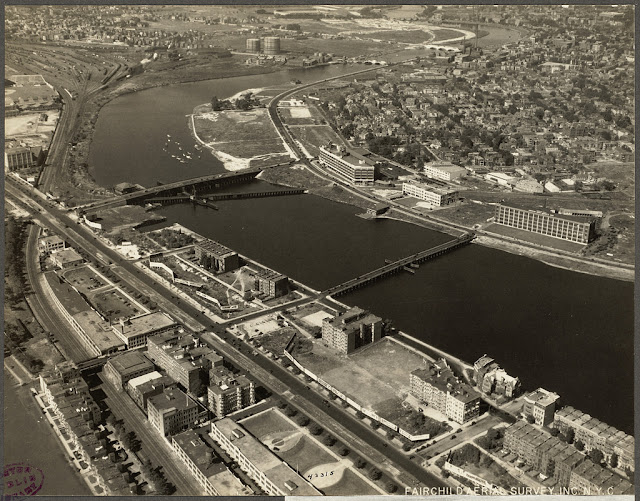 |
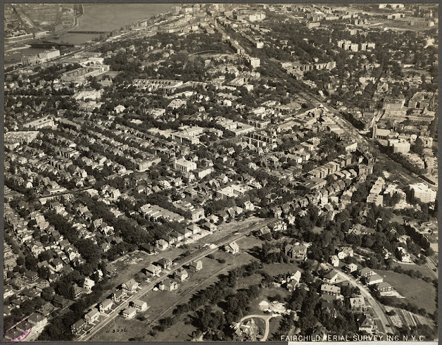
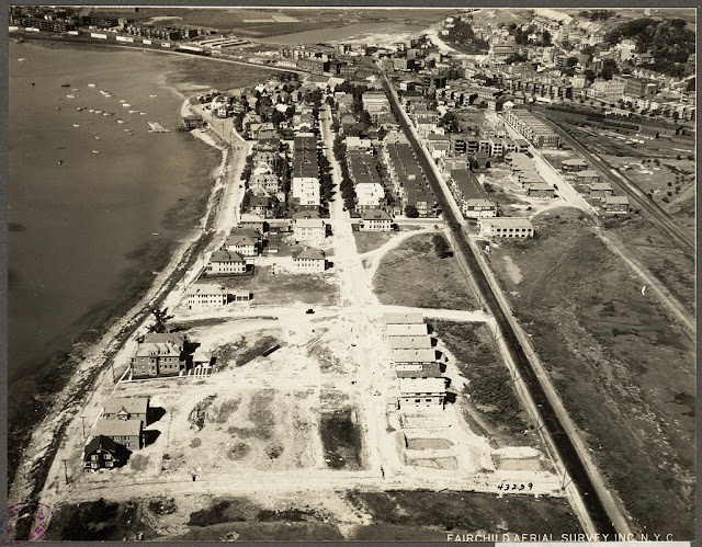
| Allston and Brighton, Boston |
 |
| Back Bay and West End, Boston |
 |
| Back Bay, looking west from Public Garden, Boston |
 |
| Beacon Hill and North End, Boston |
 |
| Beacon Hill and West End |
 |
| Boston and Albany freight yards |
 |
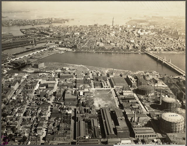
| Boston and Albany piers |
 |
| Boston art museum |
 |
| Boston common and State House |
 |
| Boston Elevated Railroad |
 |
| Boston Elevated Railroad |
 |
| Boston from Kendall Square |
 |
| Boston from South Terminal Station |
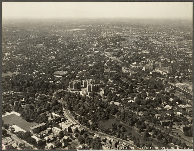 |
| Brookline, Boston |
 |
| Bunker Hill Monument, Charlestown, Boston |
 |
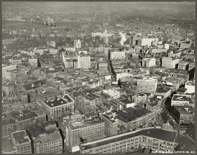
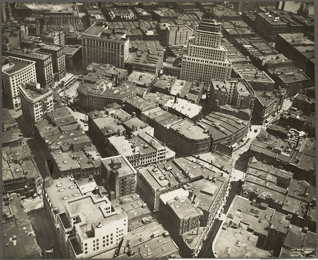
| Business district in Boston |
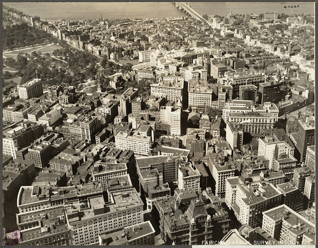 |
| Business district in Boston |
 |
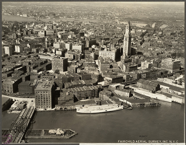
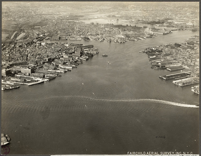
| Business from the harbor |
 |
| Cambridge, Boston |
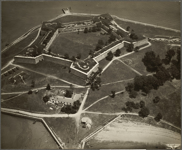 |
| Castle Island |
 |
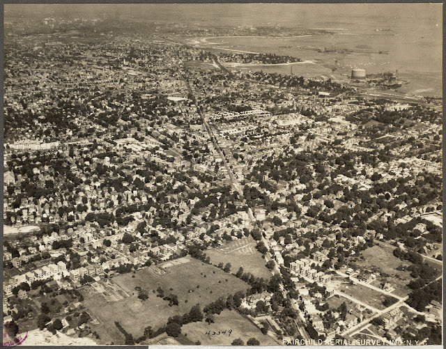
| Chelsea and Revere, Boston |
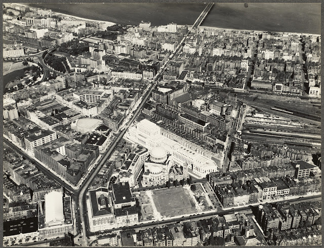 |
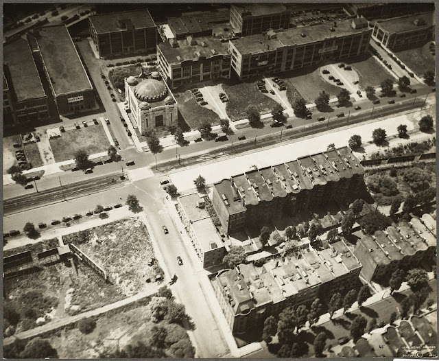
| Christian Science Church and publishing house, Boston |
 |
| Commonwealth Avenue, Boston |
 |
| Copley Square and business district in Boston |
 |
| Corey Hill, Brookline, Boston |
 |
| Dorchester and Franklin Field, Boston |
 |
| Dorchester, Boston |
 |
| Dorchester, Boston |
 |
| East Boston airport |
 |
| East Boston and Charlestown |
 |
| East Boston |
 |
| Federal building in Financial District, Boston |
 |
| Fenway, Beacon and Commonwealth, Boston |
 |
| Fisher Hill, Brookline |
 |
| Franklin Field, Dorchester, Boston |
 |
| Franklin Park |
 |
| Harvard Business School |
 |
| Harvard Square section, Cambridge, Boston |
 |
| Hotel Manger and Highway Commission, Boston and Maine Railroad |
 |
| Kendall Square, Cambridge, Boston |
 |
| Kenmore Square |
 |
| Massachusetts Avenue and the Fenway |
 |
| Orient Heights, Boston |
 |
| Park Square district |
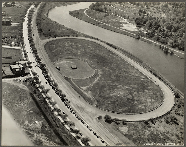 |
| Soldiers Field Road with Trotting Park, Allston, Boston |
 |
| South Boston |
 |
| The Fenway, Boston |
 |
| West Roxbury, Boston |
 |
| Winthrop Square and Federal Street |